Slope Hazard & Risk Mapping
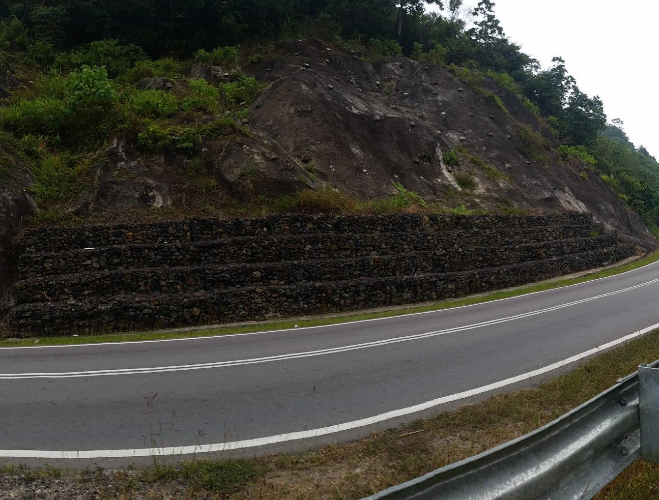
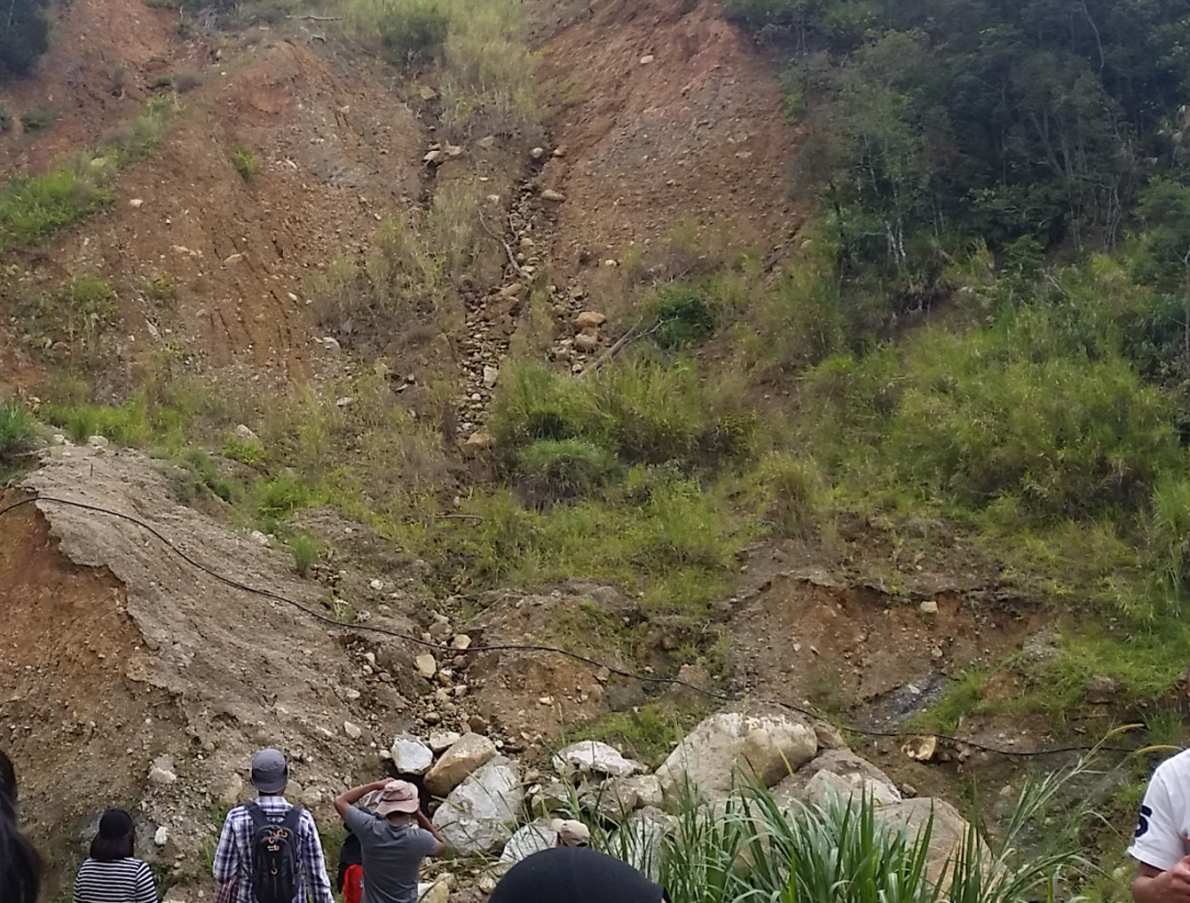
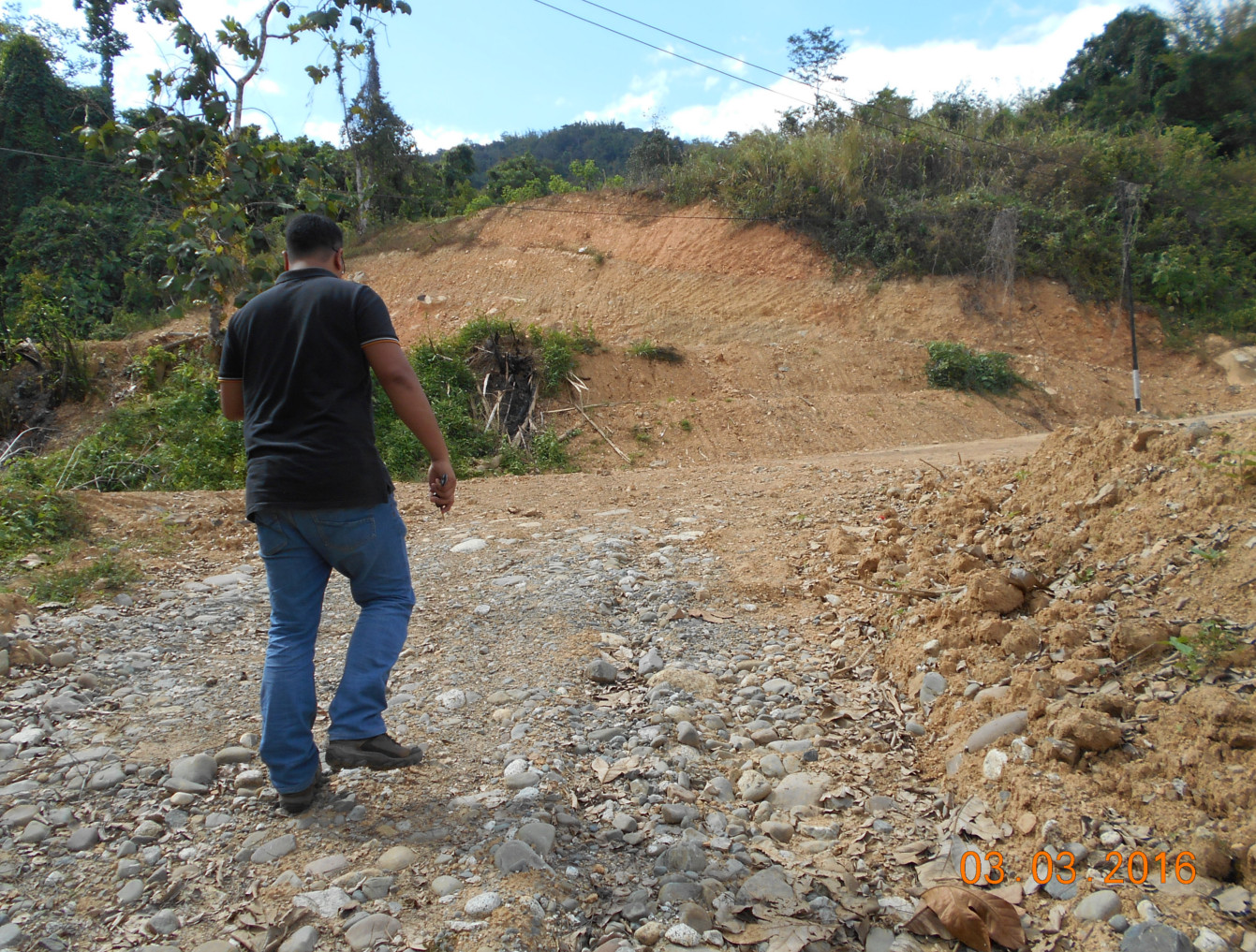
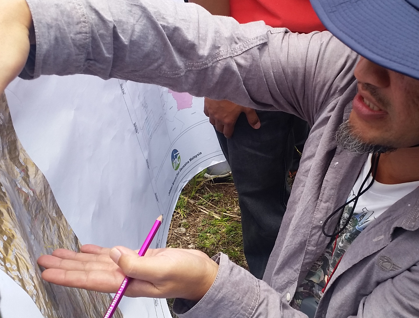
Geo Strata provides a comprehensive methods and data acquisition in producing hazard and risk maps. It includes survey, mapping, analysis, and mitigation concepts. The information from the completed risk and hazard maps will help the government, private sectors and public to carry out maintenance of distressed slopes and allocate the preventative measures for critical slopes in the study area.
The information is vital in town / city planning which several factors are concerned such as element at risks, consequences, and vulnerability of an area prone to Geological hazards.
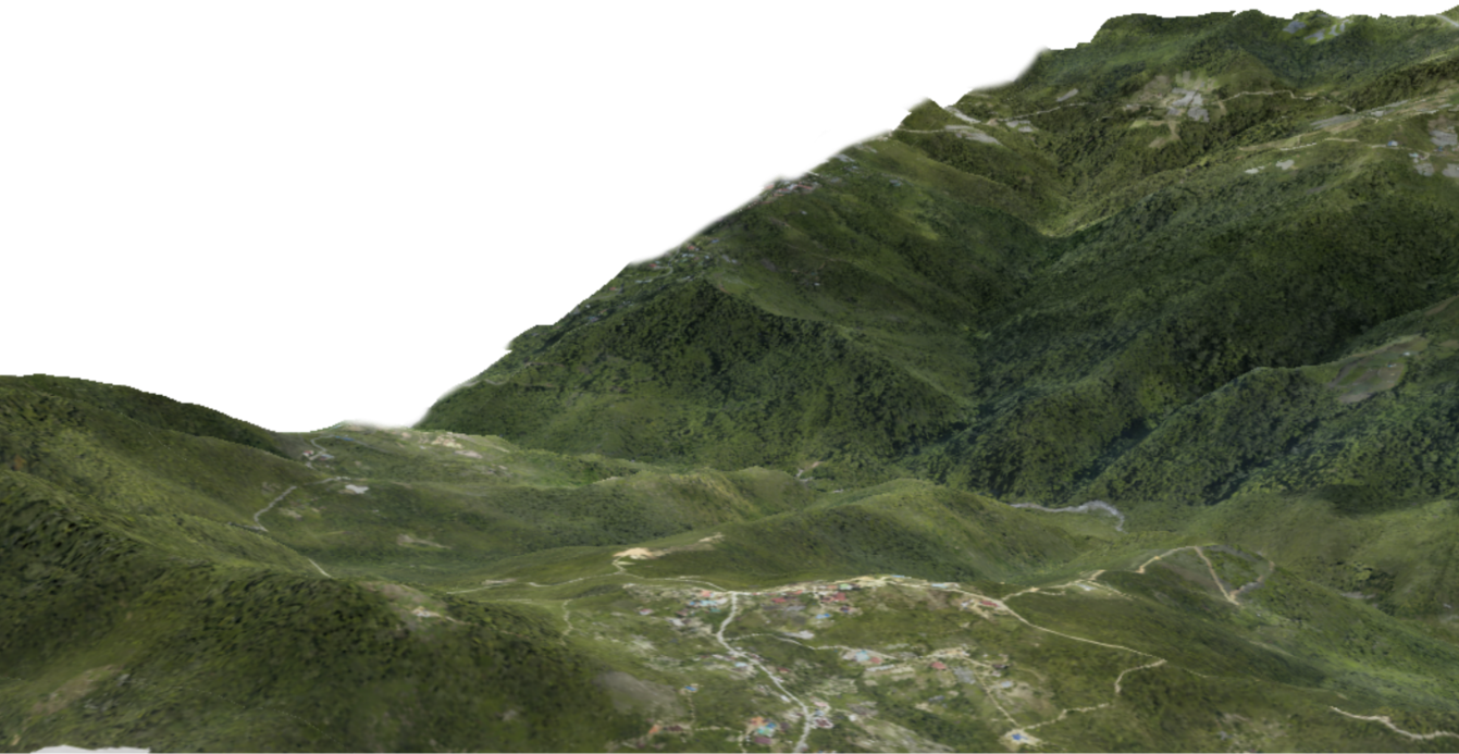
- Light Detection and Ranging (LiDAR) survey
- Terrestrial laser scanning
- Mobile laser scanning
- UAV LiDAR survey
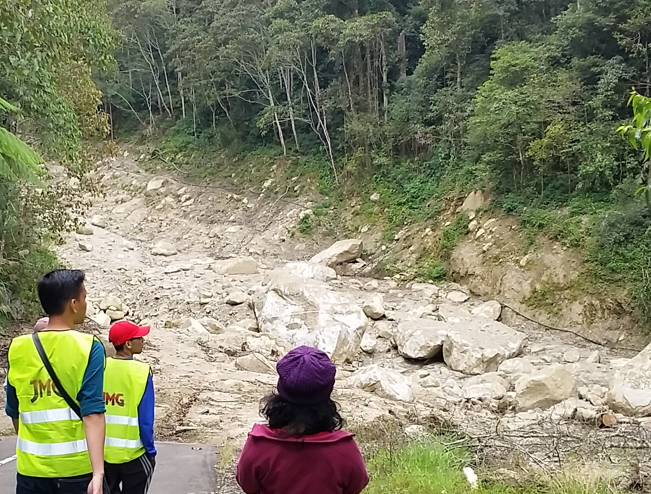
- Geotechnical field data collection
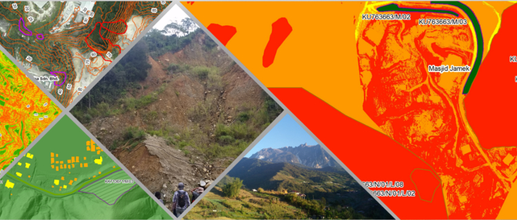
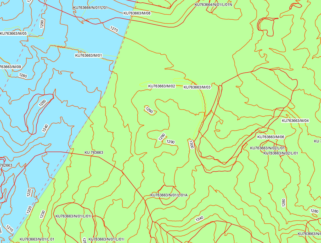
- Susceptibility analysis & mapping
- Hazard analysis & mapping
- Vulnerability analysis & mapping
- Risk analysis & mapping
- Slope mitigation design