Nowadays, the problem with our development planning is that it already involves hilly area that are prone to landslide. We at Geo Strata Sdn.Bhd provide Geological Terrain Mapping solution to our prospect so that they will plan a safe development and have low geotechnical limitation.
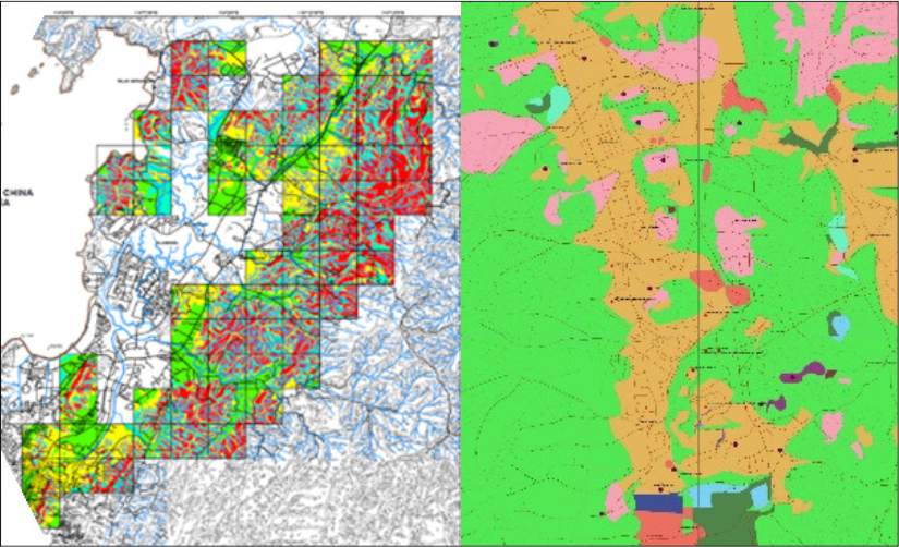
Terrain mapping is a classification system that describes the characteristics and spatial distribution of surficial materials, landforms and geomorphological processes. At Geo Strata, terrain mapping is done by qualified professional terrain mappers who are in good standing with their professional governing body who have the skills and education required to complete terrain mapping. Qualified professionals are typically geologists, geoscientists, soil scientist, geological engineers or geographers with relevant mapping experience and expertise.
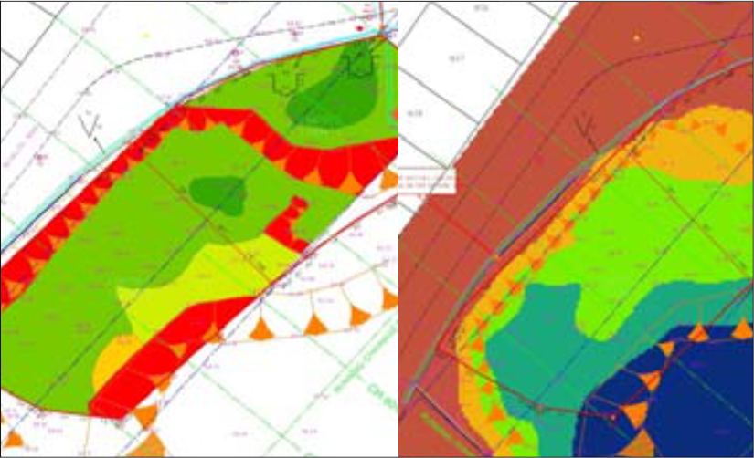
Terrain mapping is important for local authorities. Terrain stability mapping used to manage landslide risk to values such as water quality, high value habitat, timber resources, utilities and infrastructure, and human life. Terrain erosion potential mapping is used to manage risk of sedimentation to values such as water quality, fish habitat, and wildlife habitat.