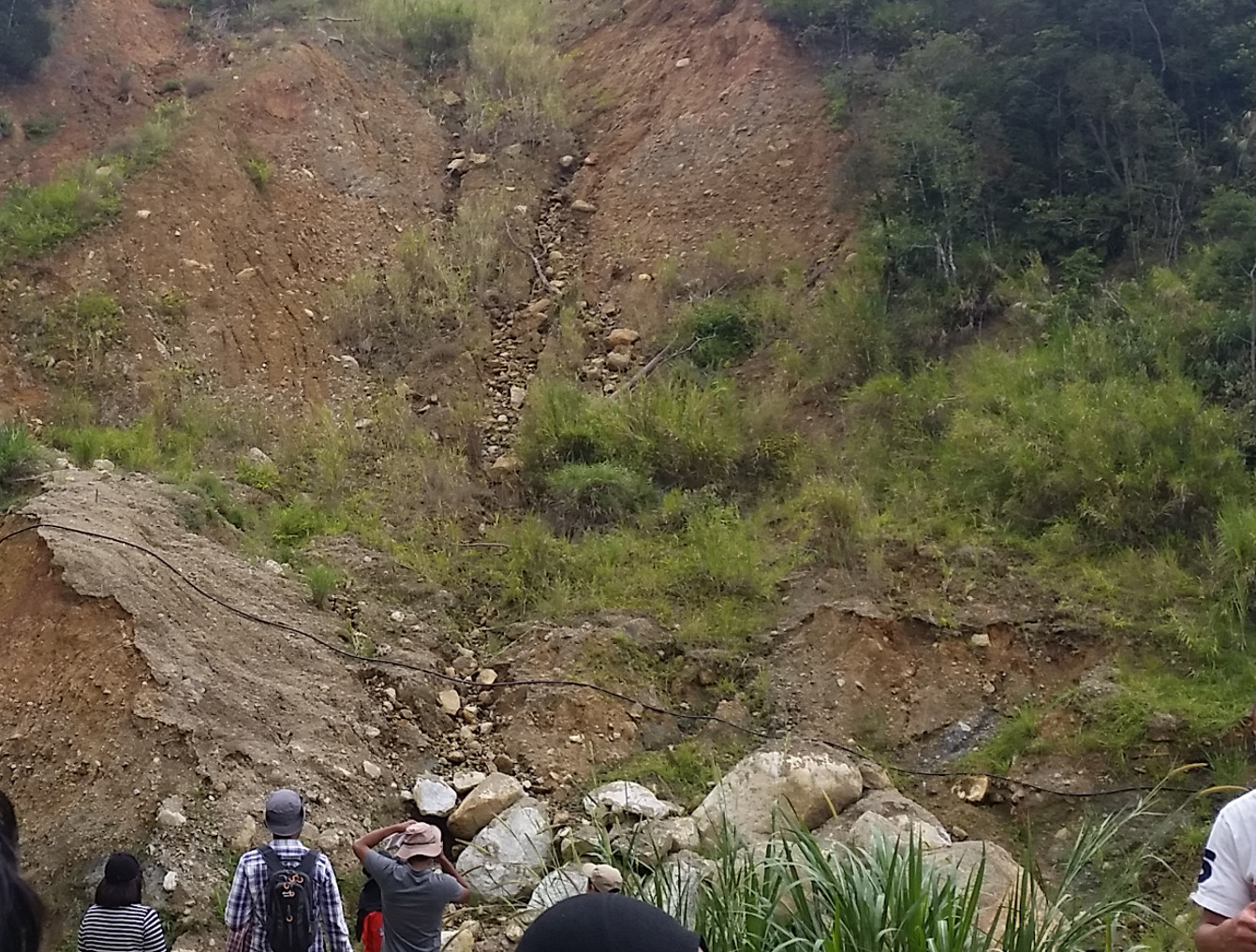
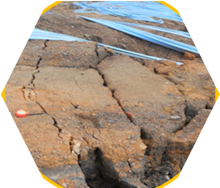
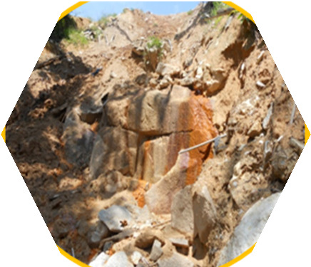
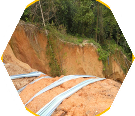
Geological mapping is fundamental to exploration project and others. In-depth understanding of the lithological and structural controls of mineralisation, geomorphology, and geological processes is very important in early stage of any geology-related projects. These insights must be gained through geological mapping at the early stages.
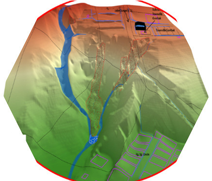
Geological Mapping is a specialised service offered by Geo Strata Sdn. Bhd., which is specifically aimed at Geologists who use LiDAR and field data interpretation techniques to map geomorphology and geological structures.
Geo Strata Sdn.Bhd was founded by a team of experienced geologist and geotechnical engineers in detailed geological mapping. The team having already 8 years experience in geological and geomorphological mapping in Malaysia.