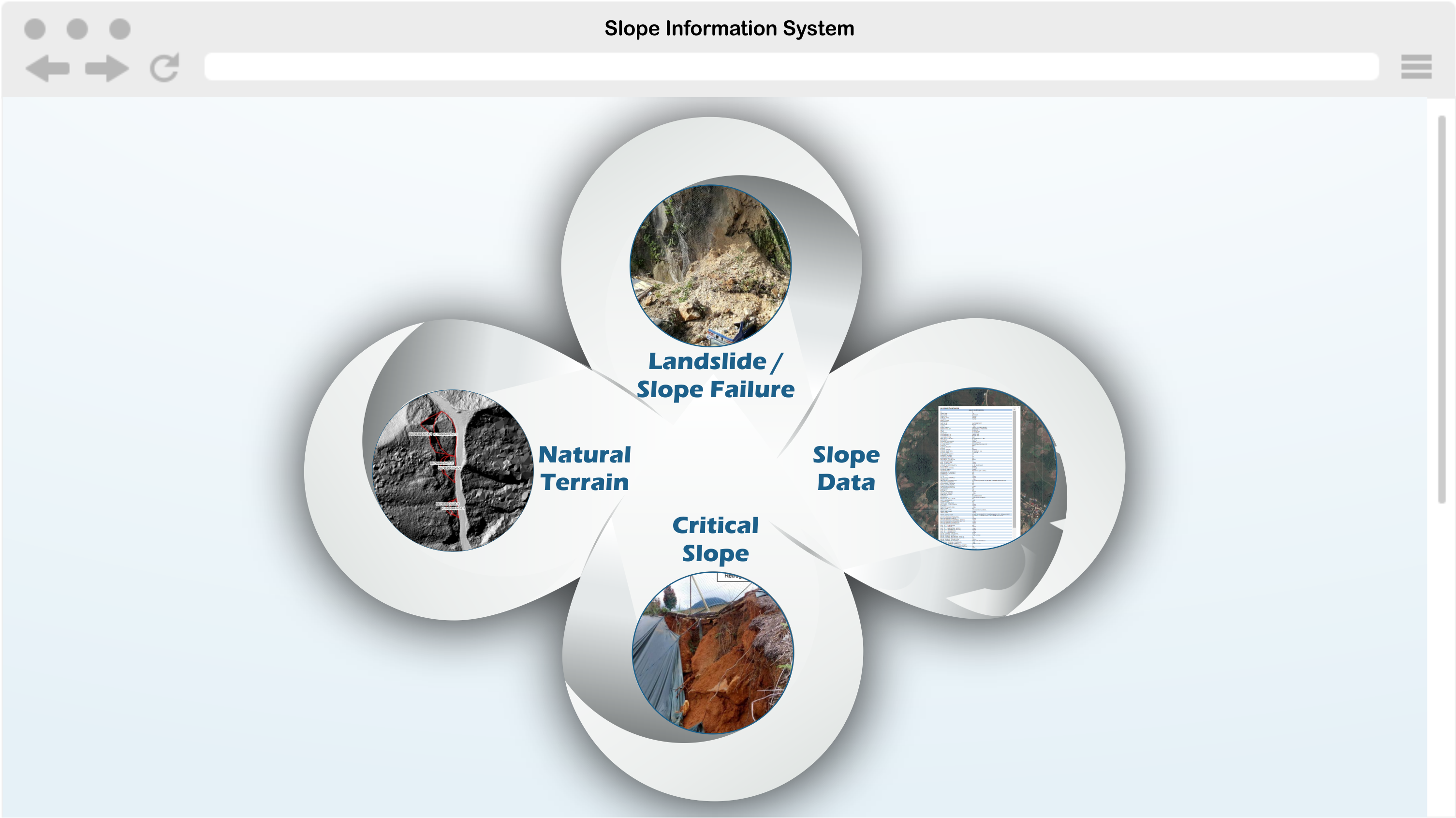
Geo Strata is able to develop Slope Information System that contains important information on slopes such other information related thereto. The information contained in the system is important to provide comprehensive and up-to-date slope information in the planning and implementation of the government slope safety work.
Topographic survey of the slopes and their surroundings is carried out using LiDAR and field data collection. The boundaries of the registered slopes will be shown in the system including dimensions of the slopes (e.g. height, gradient and length). It will also include access problems and presence of vegetation, structures, obstacles, instability, sign of distress, or slope failure history.
The descriptions, presentation, findings, interpretation will be presented in infographics (Web-Based). It is vital for local authorities for any planning/ study/ construction/ remedial/ maintenance works.